Iran has reportedly started shifting parts of its military navigation systems from the United States–controlled Global Positioning System to China’s BeiDou Navigation Satellite System. The change is believed to help improve the accuracy of Iran’s missiles and drones while reducing the risk of signal disruption during conflicts.
The Global Positioning System, commonly known as GPS, is widely used around the world for navigation, mapping, and military operations. However, it is operated by the United States Space Force, which means access or signal quality could potentially be limited during geopolitical tensions.
By moving to China’s BeiDou system, Iran may gain a more reliable navigation network for defense operations. BeiDou is a global satellite system developed and operated by China. It provides positioning, navigation, and timing services similar to GPS.
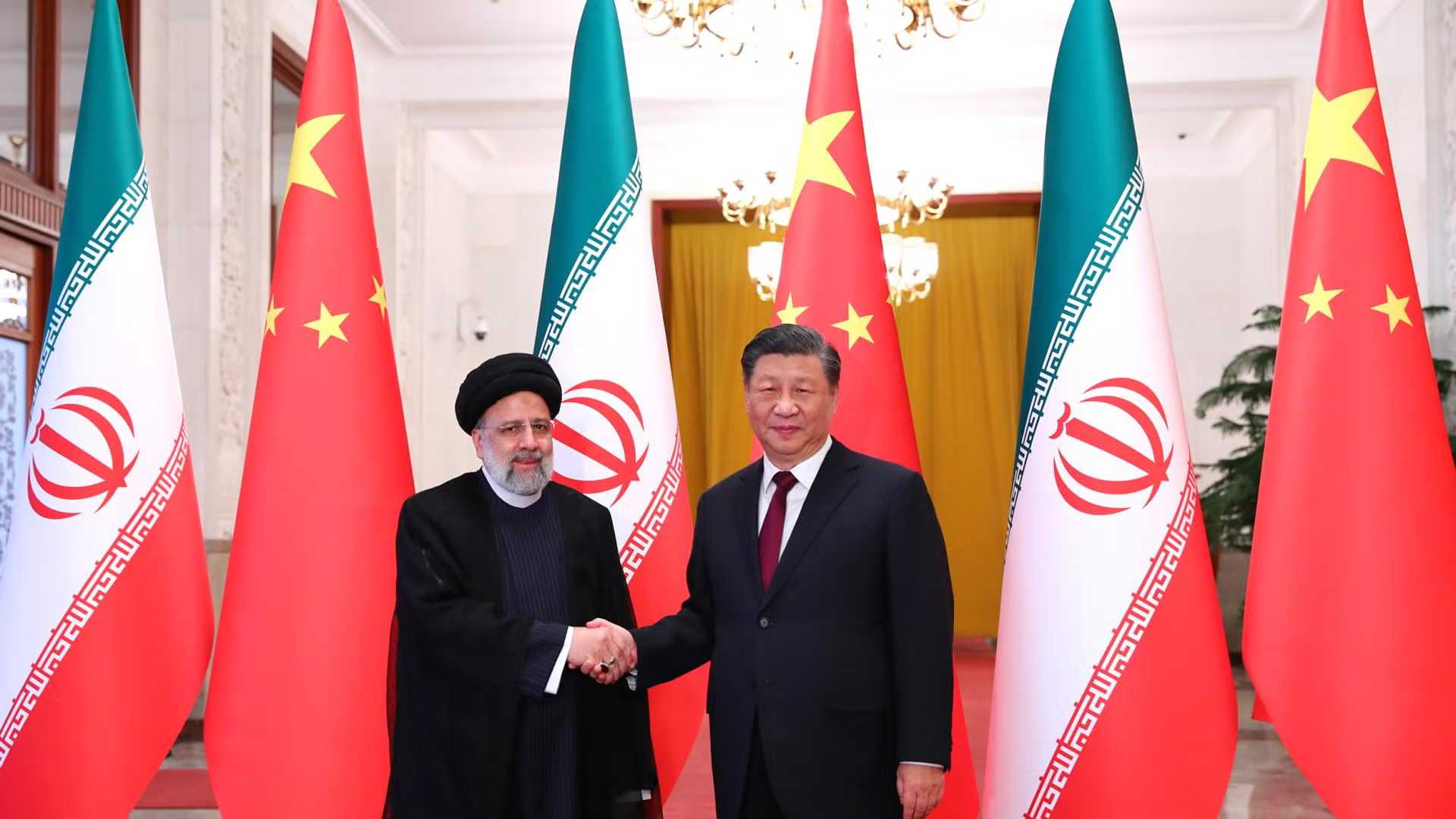
Reports suggest the transition began around mid-2025 as part of a long-term strategic cooperation agreement between the two countries. The agreement includes cooperation in technology, infrastructure, and defense-related sectors.
Military experts say satellite navigation systems are critical for guiding modern weapons, including drones and precision missiles. A stable navigation signal can improve targeting accuracy and operational effectiveness.
The development highlights the growing technological cooperation between Iran and China and reflects wider changes in global defense and navigation technologies.